About me
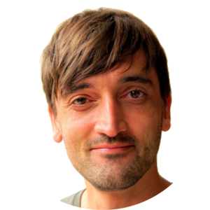
Hi, I’m Oliver.
One of my earliest childhood memories is the world map that had been hanging on the wall of my room since I was born. Even before understanding what it represented, I was utterly fascinated by it. I used to see different shapes and figures in the landmasses drawn on the map, just as people tend to do when looking at the clouds in the sky. Ever since, I loved maps.
My first university degree was in Sociology. After graduating, I started building a career in knowledge management and organisational learning. I supported institutions and non-governmental organisations by applying participatory methods to capture lessons learnt from their projects in international development cooperation and humanitarian aid.
Over the time, I grew a strong passion for (geo-) data, analysis and visualisation. I started to learn as much as I could about tools like QGIS, R, Python, D3 and the likes. Finally, I decided to pursue a Master degree in Geographic Information Systems and I graduated in 2020.
Here I am now, sharing some of my small personal projects. I hope you enjoy it and find some of the stuff on this website useful!
